I am in the city of Zhangye, Ganau Province, visiting a professor friend whom I met last year in Canada.
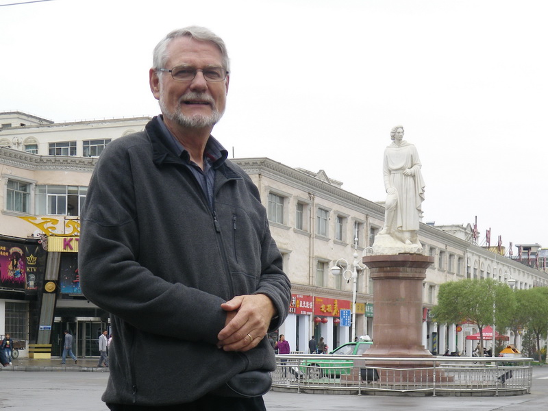 On the street close to my hotel is this statue of the most famous European to travel through this town on the Old Silk Road.
Why should I feel some kind of kinship with this Italian? Maybe because I have a white face, and I don’t see many others on the streets of Zhangye. I chose to get my photo with him. His name? Marco Polo.
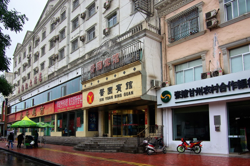 Was it a jest, or was she serious? My friend told me I was registered in the Marco Polo Hotel. (I could find no English anywhere about the hotel, so I doubt it!!)
Zhangye has six times the population of my home city in Canada. Regina is also in a remote part of a large country, but this time I have a nine-hour bus ride to reach the nearest airport.
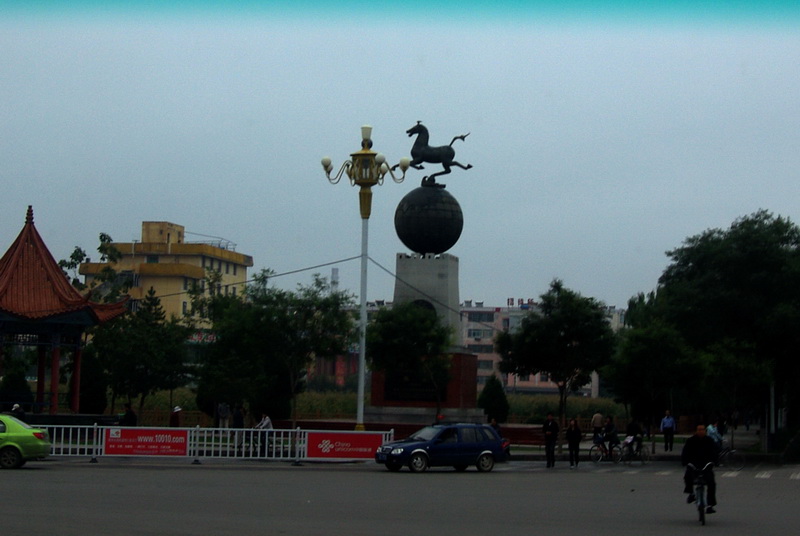 I commonly carry a camera when in China. So, when I saw this striking statue on my way to the bus station, I snapped a quick photo through the window. A few days earlier I’d seen the original sculpture of this increasingly famous horse in the museum in Lanzhou. (See more about this in Part 2 of this story.)
The bus proceeded out of the Zhangye along Route 312. This is a famous highway in China that links Shanghai on the east to the border with Kazakhistan in the far north-west. I’ve read the book by Rob Gifford, entitled “China Road.” I’d love to travel its full length sometime, but today I’m on just a short stretch of the road, just a few hundred kilometres.
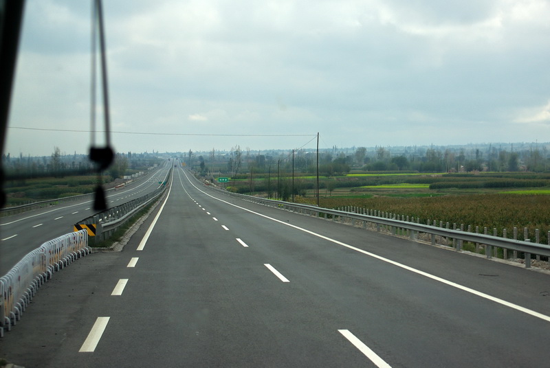 Twinned now with the original Route 312 is this G30 Expressway — very modern and efficient. It operates, like most new highways in China, as a toll road. Two years earlier, I’ve been on this road a few hundreds of kilometres further west in Xinjiang Province. It appears to be built to the same high standard all the way to the western border of China.
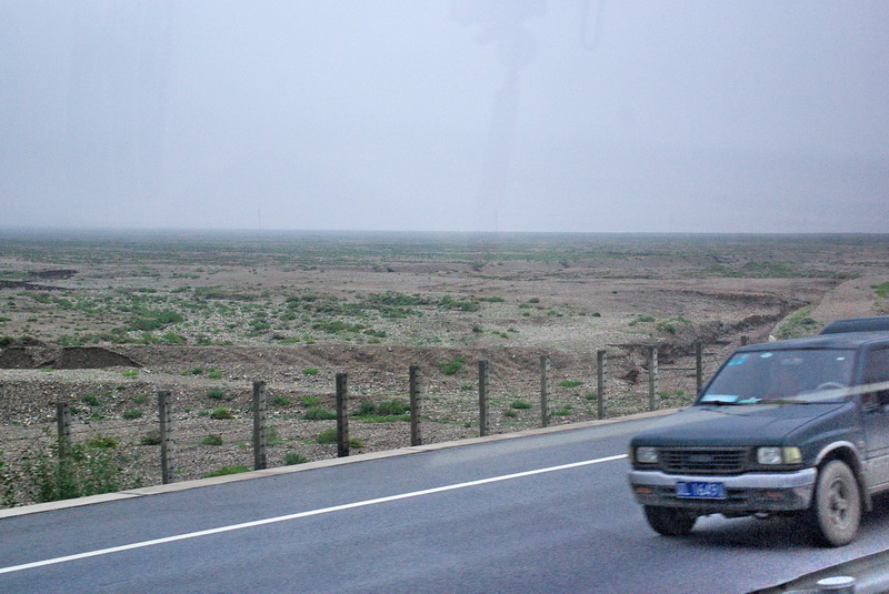 Soon after leaving Zhangye, the agricultural land starts to thin out, and the landscape becomes increasingly barren of life. This is part of the Gobi Desert: bleak, stony, with little sign of habitation or agriculture. If the wind has not swept away the soil, the flash floods of seasonal monsoons have washed it away.
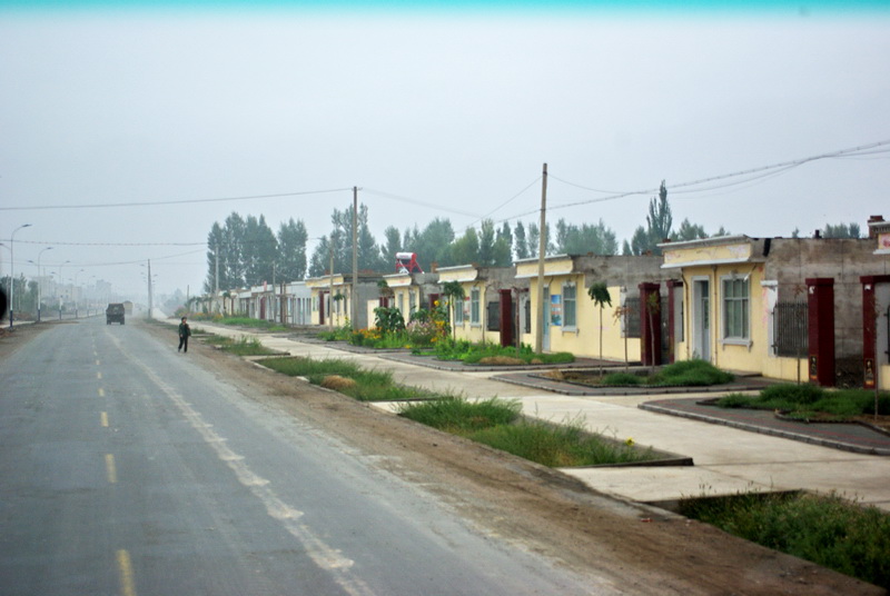 We enter just one of a number of smaller towns along our route. I was told that here on the edge of town, the government has attempted to provide improved housing for local farmers.
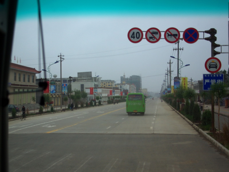 In town centres, I find that modern buildings commonly line the streets.
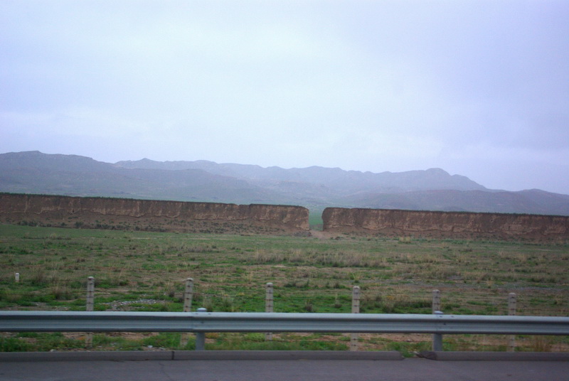 We rode on and I dozed for a time. Suddenly I woke to the idea that I was missing something important. What appeared to be a mud brick wall continued along the roadside for some great length. Could this be part of China’s Great Wall? It didn’t look nearly so “great” as what we tourists see near Beijing, but I had read of it extending this way. Soon I confirmed it was “the wall.” It stretches for many hundreds of kilometers further west — almost the full length of the province of Gansu.
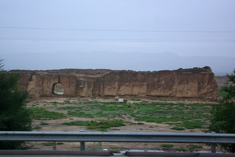 We see a rectangular structure in the foreground, and just a bit of the actual wall in the far distance at the right edge of this photo. Perhaps this was a walled section that provided living quarters for troops. They once stood guard to keep the northern barbarians from encroaching on Chinese civilization.
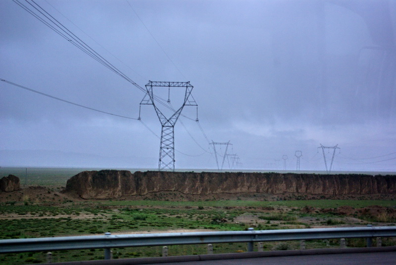 This was the more typical view of The Wall as I watched it, mile after mile… often broken down completely, or continuing to erode. But, just here, I thought of how modern technology and the thirst for “power” has long since made the old strategies of defensiveness so obsolete.
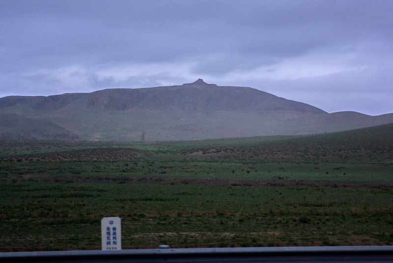 As the the Wall veered off northward and away from the highway I noticed something on the mountain range in the distance. Could this be some kind of ancient lookout tower? It’s a question I’ll ask some geographer when I get a chance.
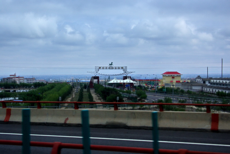 We pass a small city. I am struck again by the image of the Flying Horse. It’s the new icon for China Tourism. (I’ll include more photos of it in Part 2.) Later, I learned this was the town of Wuwei and it had good reason to display the Flying Horse. Back in 1969, the sculpture was unearthed as a new building was being constructed.
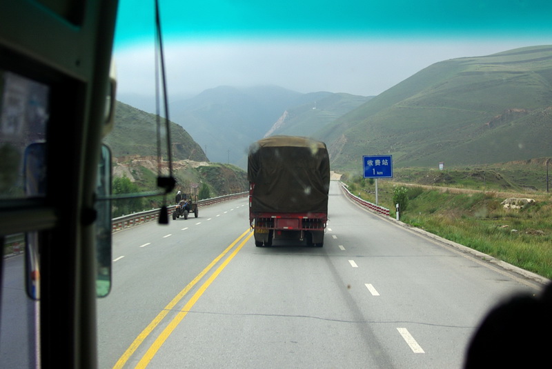 As we carry on towards Lanzhou, we come to a narrowing of the valley, a kind of transportation corridor. that now carries the expressway, the railway, and perhaps other infrastructure, too. This part of the Silk Road is often called the Hexi Corridor (where “he” means “river,” and “xi” means “west,” hence, “hexi” means the west extension of the Yellow River).
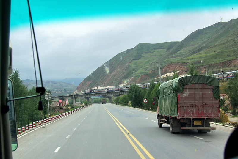 At this point, the southern and northern mountain ranges almost converge. For maybe 10 km, all transportation links are funneled through this narrow valley.
My mind wanders a little. Perhaps Marco camped nearby on the mountains here. He would have seen a much different progression of passing traders and their beasts of burden. But today, many forms of technology have brought changes to this landscape like most other areas of this great country.
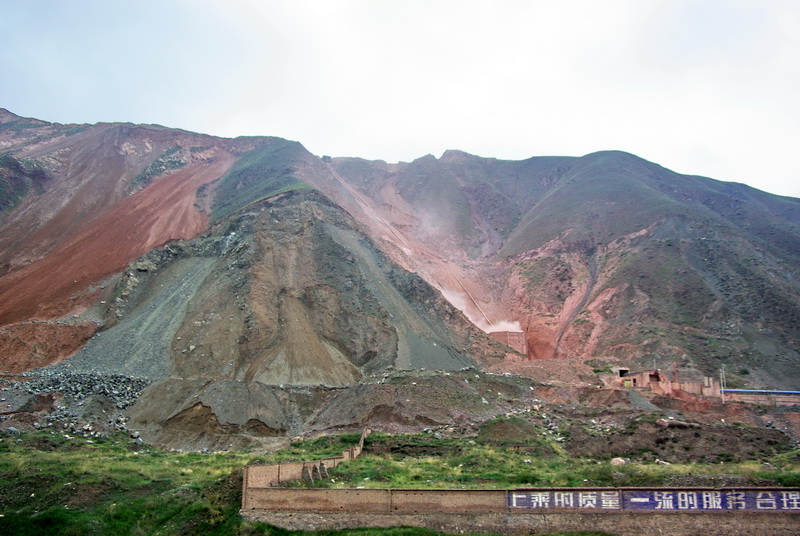 And maybe technology and industry is changing the landscape in other ways, too. The mountainside here bears the scars that too often disfigure our planet. Ahh, but we Canadians are great miners too. We profit from the exploitation of these hard rock resources and have our own problems with respecting and restoring the environment.
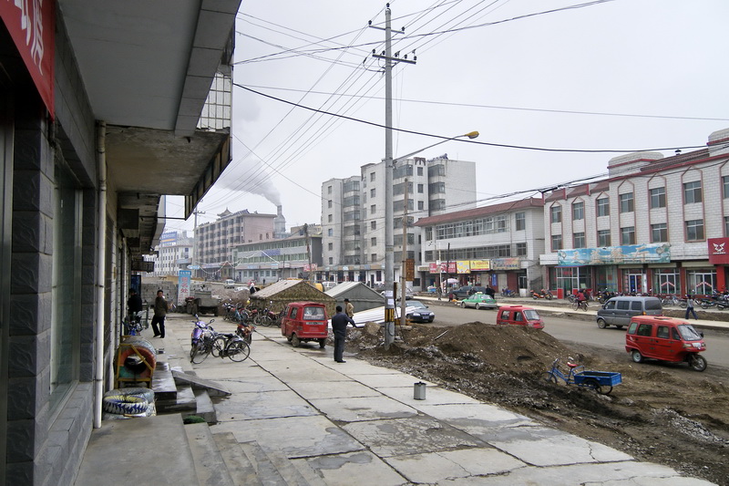 Yes, on a nine-hour journey it is necessary to stop from time to time. I took my camera into the rest stop, but chose not to photograph the toilet caretakers who ask a half-yuan for their services. Inside is a counter that sells drinks and snack food.
But outside in this small remote town, much construction and renewal is taking place like so much of China. In this case, it is street upgrading.
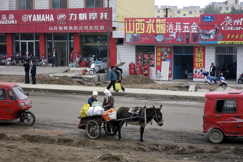 But, here, the donkey cart is a reminder that life has still not changed so much for some people. And the head covering suggests people of the Muslim faith. The Hui people, one of the fifty-plus ethnic minorities in China, is the largest ethnic group in Gansu.
Click here to proceed with Part 2
Originally published with Show Story: 2009 10 14
Latest update: 2017 07 07